Naples (Napoli) in Italy: Historical Vintage Map Prints and Pictures
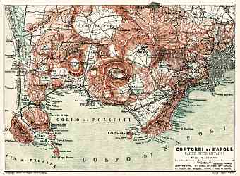
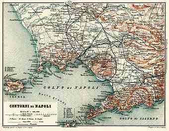
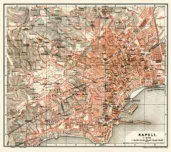
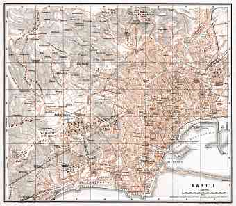
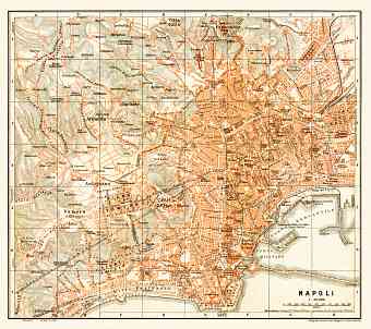
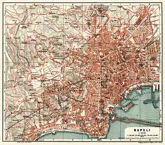
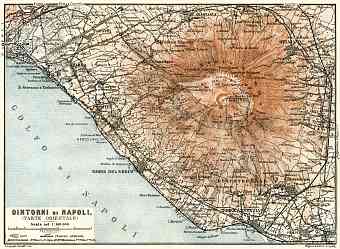
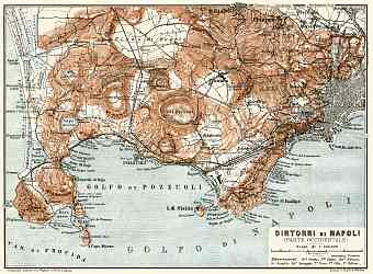
Historical vintage maps in this section feature the city of Naples (Napoli), the capital city of the Italian region Campania by the Almafi Coast in the Southern Italy. It has been identified as the oldest inhabited city of the country and the most bombed Italian city during the Second World War, with further dramatic changes in the layout caused by its devastations. Street pattern mutations and urban landscape changes of the modern history are clearly seen on the old maps of Naples. Cradled between the two prominent volcanic regions of Mount Vesuvius, the active volcano and Campi Flegri the region has changed and will keep evolving. Mt. Vesuvius was its most active during 1913-1944 and has not erupted since then. The three islands neighbored in the map namely: Procida, Ischia and Capri are accessible from the city via ferries and hydrofoils. The Roman cities ruined by the eruption of Mt. Vesuvius in 79 A.D is visible from the city.

