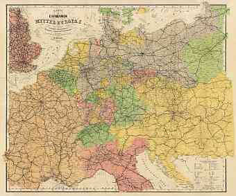
Slovakia: old map prints, fine replica pictures to download or use in the field with GPS
Fine re-mastered replicas of old historical maps of Slovakia as it looked in the 1880s, 1890s, 1900s, 1910s and shortly after the World War I cover mostly its Austro-Hungarian period. In the year 1918 Slovakia was merged with Czechia to form country of Czechoslovakia, which existed on the Europe political map until 1993 when the Czechs and the Slovaks became independent of each other in a peaceful way. This central-European country is characteristic of flat terrain in the south and rugged mountainous region in the north. It has a total land area of approximately 48,845 square kilometers with its capital in the city of Bratislava. Slovakia shares its borders with Czech Republic, Poland, Austria, Hungary and Ukraine. It is famous for the Carpathian Mountains that extend across the northern half of the country. The country’s highest point is the Gerlachovský štít in the High Tatras and the largest lowland is the Danubian Lowland. Badrog River bordering Hungary is the lowest point of the Slovakian terrain. The 1900 Collection offers vintage map reproduction prints, high resolution map pictures for download and GPS-enabled historical navigable travel items

