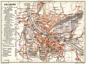
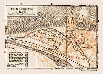
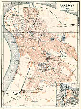
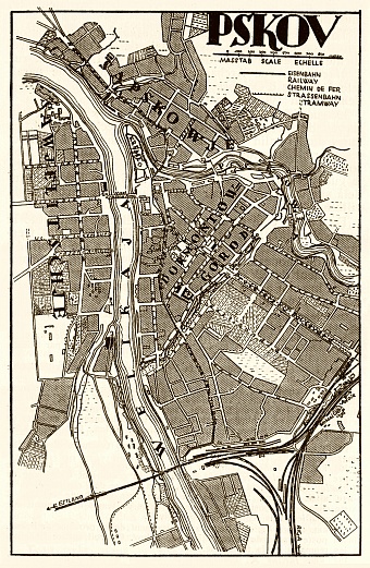
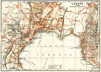
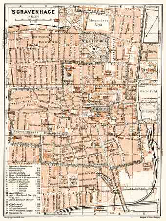
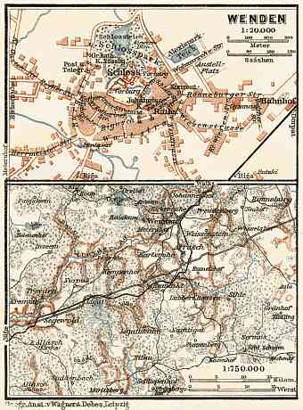
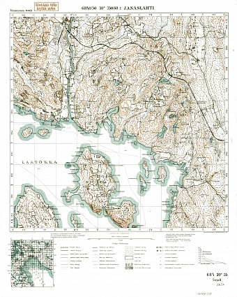
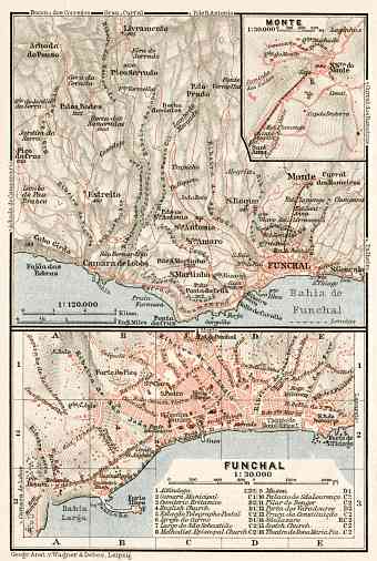
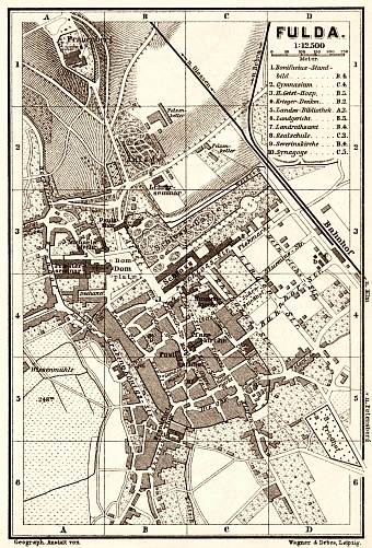
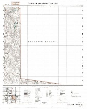
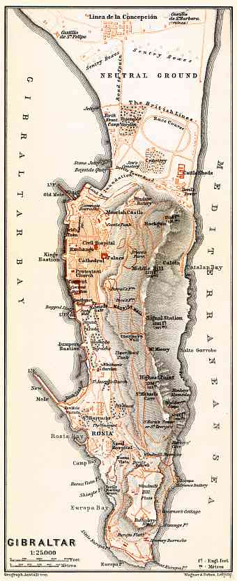
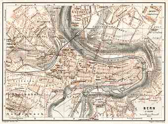
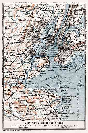
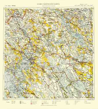
This is a random selection of historical maps available at the online collection, featuring digitally restored vintage image reproductions available as fine prints, including archival paper or exclusive framed polycotton canvas for map gifts, or picture downloads to your desktop for studies or graphic art, or mobile for navigation along the streets of not so far past. Click to any map preview below to get more information on it. Use the left alphabetic geographic catalog panel (based on modern political map), contextual search, interactive map search or special catalog tools, including search by a cartographer or search within boundaries of empires of the past to find a desired old map.
- World Maps [10]
- Africa (General maps) [6]
- Americas (General maps) [7]
- Asia (General maps) [11]
- Australia (General maps) [5]
- Europe (General maps) [20]
- Albania [1:5]
- Algeria [2:25]
- Armenia [1:2]
- Austria [2:193]
- Azerbaijan [2:5]
- Belgium [3:66]
- Bosnia and Herzegovina [2:30]
- British Crown dependency [1:1]
- Bulgaria [2:9]
- Canada [2:23]
- China [1:3]
- Croatia [2:44]
- Cuba [2:2]
- Cyprus [2:5]
- Czech Republic [2:66]
- Denmark [3:52]
- Egypt [2:8]
- Estonia [2:38]
- Finland [2:96]
- France [2:411]
- Georgia [2:17]
- Germany [2:451]
- City and Town Maps [19:280]
- Barmen and Elberfeld (Wuppertal) [9]
- Berlin and Potsdam [21]
- Bremen [4]
- Cassel (Kassel) [3]
- Chemnitz [3]
- Cologne (Köln, Cöln) [5]
- Dresden [11]
- Düsseldorf [6]
- Frankfurt am Main [7]
- Görlitz [3]
- Halle [3]
- Hamburg [15]
- Hanover (Hannover) [6]
- Heidelberg [6]
- Kiel [3]
- Leipzig [6]
- Lübeck [3]
- Magdeburg [4]
- Munich (München) [13]
- Region and Overview Maps [2:171]
- City and Town Maps [19:280]
- Gibraltar [2:7]
- Great Britain [2:102]
- Greece [2:49]
- Hungary [2:26]
- Iceland [2:5]
- Iran [1:1]
- Ireland [2:3]
- Israel [2:5]
- Italy [2:419]
- Kosovo [1:5]
- Latvia [2:15]
- Lebanon [1:1]
- Libya [1:2]
- Lithuania [2:6]
- Luxembourg [2:7]
- Macedonia [1:2]
- Malta [2:5]
- Mexico [2:3]
- Monaco [2:6]
- Montenegro [2:12]
- Morocco [2:7]
- Netherlands [2:46]
- Norway [2:106]
- Poland [2:66]
- Portugal [2:32]
- Romania [2:31]
- Russia [2:660]
- Serbia [2:15]
- Slovakia [2:13]
- Slovenia [2:20]
- Spain [2:142]
- Sweden [2:94]
- Switzerland [2:177]
- Tunisia [2:16]
- Turkey [2:57]
- Ukraine [2:41]
- United States of America [2:64]
- Uzbekistan [2:2]

