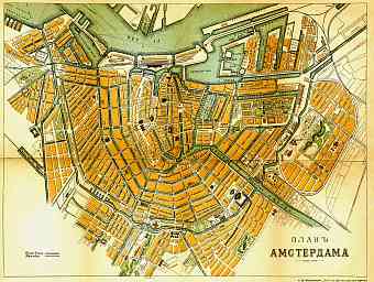
Amsterdam in Netherlands: Historical Vintage Map Prints and Pictures
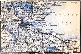
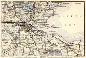
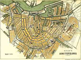
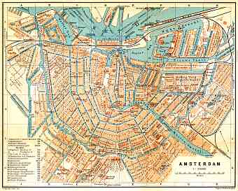
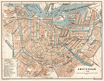
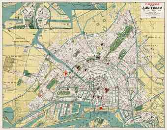
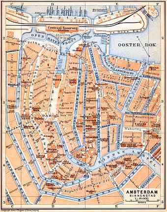
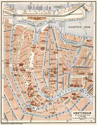
Historical old maps of Amsterdam display the modern urban planning and transport history of the largest city and the capital of Netherlands. Amsterdam is located in the western part of Netherlands in the province of North Holland. River Amstel runs through the city center into the bay IJ. The characteristic feature of the city is that it is historically situated 2 meters below sea level and the surrounding land is made of polders cut by canals (Dutch: Grachts) with approximately 90 division of islands connected by thousand of bridges as seen on modern and historical maps. Vintage maps of Amsterdam of the late 19th and early 20th centuries display the urban development story of the Dutch metropolis. The city is connected to the North Sea by a long North Sea Canal. Amsterdam suffered during the Second World War period with some changes to its street pattern but is delighting to see how the city has preserved its historical attractions and great work of arts

