Brussels (Bruxelles, Brussel) in Belgium: Historical Vintage Map Prints and Pictures
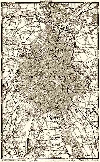
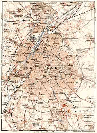
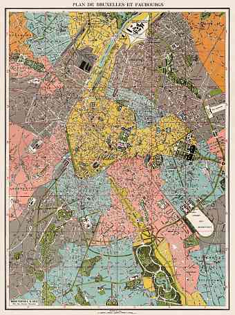
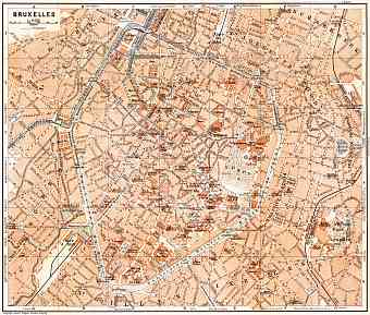
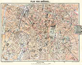
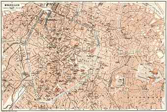
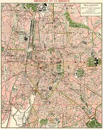
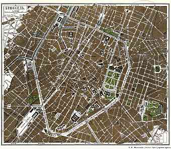
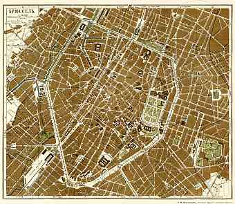
Historical vintage maps of Brussels illustrate the modern urban development of this city which is not only the capital of Belgium but is also the de facto capital of the European Union. It grew from a fortress town of the 10th century that can be followed by experts from the street pattern; this historically pentagon shaped city shares its border with Walloon and Flemish region. It is located in the Senne River Valley about 60 miles away from the North Sea. Historical Brussels’ maps show it divided into two distinct segments- the Upper Town and the Lower Town. The lower town is located exactly on the Senne River and is a center of trade and commerce adorned with historical heritage site. The Upper Town lies on the eastern slope of the Senne Valley and is mostly a residential area with important government centers. The city consists of 19 municipalities. Old maps of Brussels' tramway display its history, typical for many historical metropolises of mainland Europe

