Bucharest (București) in Romania: Historical Vintage Map Prints and Pictures
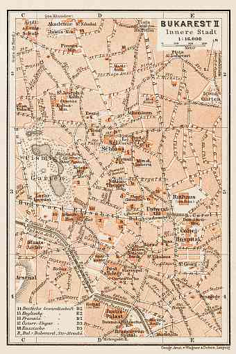
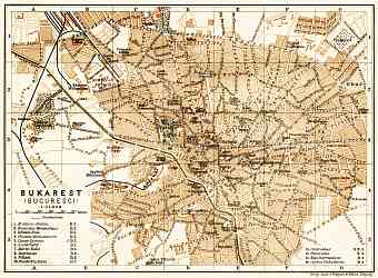
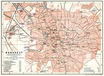
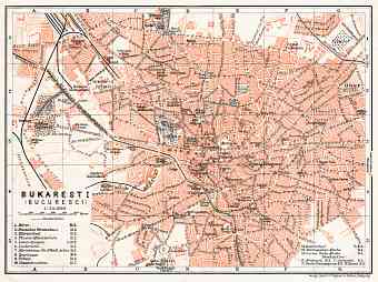
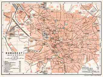
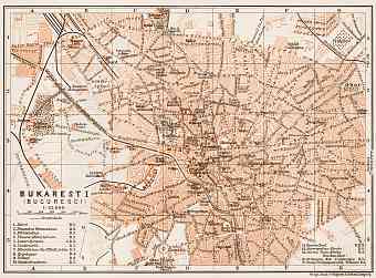
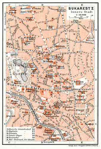
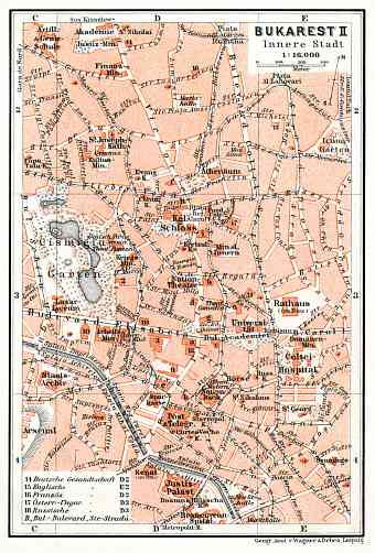
Vintage historical maps of Bucharest highlight aspects of modern urban development of the capital city of Romania (since 1862), situated in the southeast side of Romania on the Dambovita river banks which lies 69 km north of River Danube. Dambovita River further progresses into the Arges River. Old maps show historical topography, geography and landmarks of Bucharest. The city is characteristic of numerous lakes along the Colentina River. In the central city there is a famous renowned artificial lake called the Lake Cismigui. The city enjoys recreation and leisure in prestigious parks and the most outstanding one being the Botanical Garden. Similar to other traditional cities Bucharest is also believed to be built on seven hills. The city has a roundish outline with varying topography. The highest point is believed to be at Militari Church with an altitude of 91.5 m and the lowest being Dambovita Bridge in Catelu with 55.8 m. Bucharest experiences a humid continental climate

