Budapest in Hungary: Historical Vintage Map Prints and Pictures
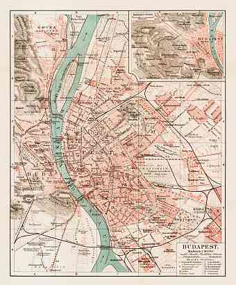
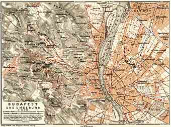
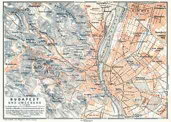
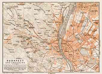
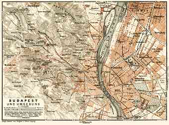
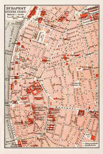
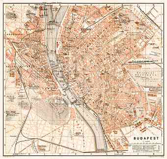
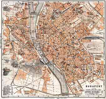
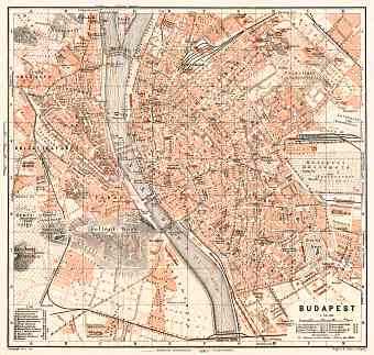
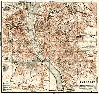
The capital of Hungary is the primate city of the country, that is, Budapest. The vintage maps here specifically deal with the shiny Austro-Hungarian period of Budapest history. Old historical maps of Budapest dating back to late 19 C and early 20 C display it traditionally located at the heart of the Carpathian Basin, particularly on a route that links the hilly region of Transdanubia with the Great Plain encompassing both banks of the river Danube with Obuda and Buda on the west bank and Pest on the east bank. The river Danube hails from the north. Pest on the east is a large region with a flat terrain of the Great Plain and Buda is a hilly area. It is believed that the hills were formed during the Triassic Period. Janos hill is the highest point of Budapest at 527 m above sea level while the lowest point of the city is the line of Danube at 96 m above sea level. The city is very green and environmentally concerned. As seen on the map the river that separates the two parts of the city is at its narrowest point in Budapest

