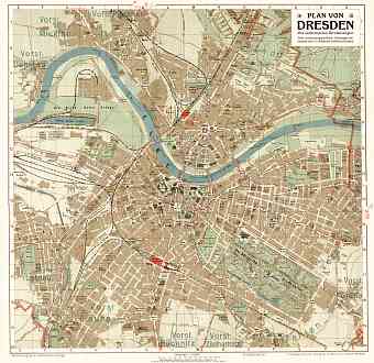
Dresden in Germany: Historical Vintage Map Prints and Pictures
Dresden is a major German city capital of the Federal Free State of Saxony. Historical vintage maps study urban development of this city located on the river Elbe close to the border of Czech Republic. Though Dresden lays on both banks of the river it is mostly centered in Dresden Basin. The city sprawls over an area envisaging the eastern Ore Mountains in the south to the Lusatian crust on the north and to the Elbe Sandstones Mountains in the East. The Second World War brought drastic destruction to the street pattern of central Dresden, which can be ultimately witnessed on its historical town plans. Sixty five percent of the city is sheer greenery with four nature reserves. The city shares its nearest cities with countries other than its own namely with Prague in Czech about 150 km south and the city of Wroclaw in Poland about 200 km to the east, as both old and modern maps of the region showcase. The highest point of the city is Triebenberg with an elevation of 384 meters above sea level


