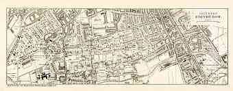
Edinburgh (Dùn Èideann) in Great Britain: Historical Vintage Map Prints and Pictures
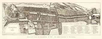
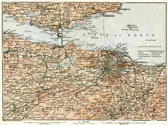
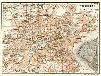
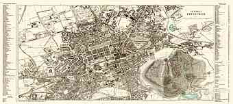
The city of Edinburgh is the capital of Scotland. Old vintage maps of Edinburgh and its suburbs pertain to this particular city sheltered in the Central Belt of Scotland in Lothian lying southern of the Fifth of Four which is an estuary. With a city area of 264 square kilometers the city is built on a landscape of volcanic activity an area of basalt volcanic plug which took place million of years ago followed by the phenomenon of intensive glaciation. The old city of Edinburgh was built near the Castle Rock whilst the modern city is built on seven hills of Scotland namely- Calton Hill, Craiglockhart Hill, Corstorphine Hill, Blackford Hill, Braid Hill, Arthur’s Seat and the prominent Castle Rock. Not all maps show these inclusions, only late ones. The main river of Edinburgh is the Water of Leith which has its origin on the Colzium Springs of the Petland Hills. The peak of Arthur’s Seat and Salisbury Crags are the two highest points of the city at 251m

