Historical overview maps of Europe as the continent looked like in the 1880s, 1890s, 1900s, 1910s and shortly after the World War I. The 1900 Collection offers vintage Europe old map reproduction prints, high resolution map pictures for download and navigable GPS-enabled historical travel items for PDF Maps mobile application
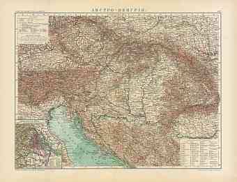
22.36 x 17.22 inch, 568 x 438 mm
p
(20 x 28 inch, 500 x 700 mm)"> 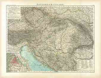
22.29 x 17.31 inch, 567 x 440 mm
p
(20 x 28 inch, 500 x 700 mm)"> 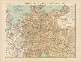
22.35 x 17.12 inch, 568 x 435 mm
p
(20 x 28 inch, 500 x 700 mm)"> 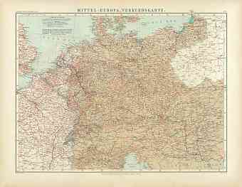
22.33 x 17.33 inch, 568 x 441 mm
p
(20 x 28 inch, 500 x 700 mm)"> 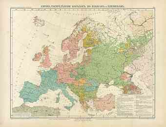
22.31 x 17.13 inch, 567 x 436 mm
p
(20 x 28 inch, 500 x 700 mm)"> 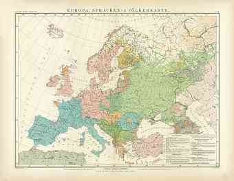
22.34 x 17.31 inch, 568 x 440 mm
p
(20 x 28 inch, 500 x 700 mm)"> 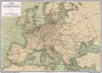
19.79 x 14.15 inch, 503 x 360 mm
p
(16 x 24 inch, 400 x 600 mm)"> 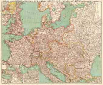
36.33 x 30.09 inch, 923 x 765 mm
p
(31 x 47 inch, 800 x 1200 mm)"> 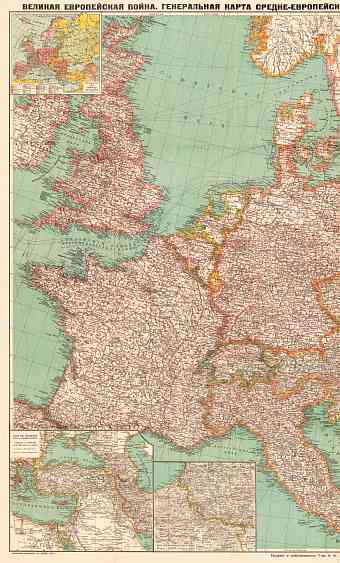
25.49 x 42.22 inch, 648 x 1073 mm
p
(31 x 47 inch, 800 x 1200 mm)"> 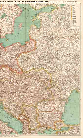
25.49 x 42.22 inch, 648 x 1073 mm
p
(31 x 47 inch, 800 x 1200 mm)"> 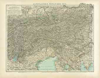
22.2 x 17.31 inch, 564 x 440 mm
p
(20 x 28 inch, 500 x 700 mm)"> 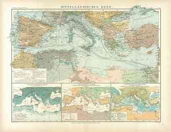
22.32 x 17.26 inch, 567 x 439 mm
p
(20 x 28 inch, 500 x 700 mm)"> 


