Frankfurt am Main in Germany: Historical Vintage Map Prints and Pictures
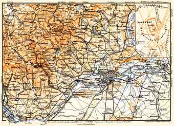
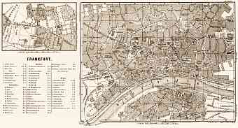
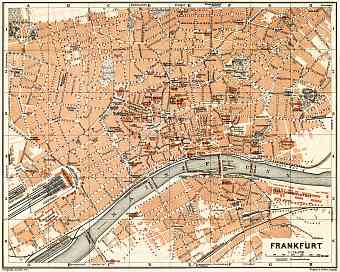
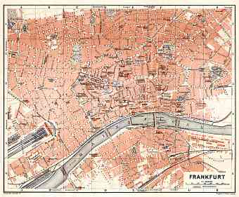
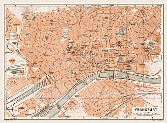
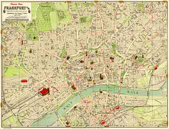
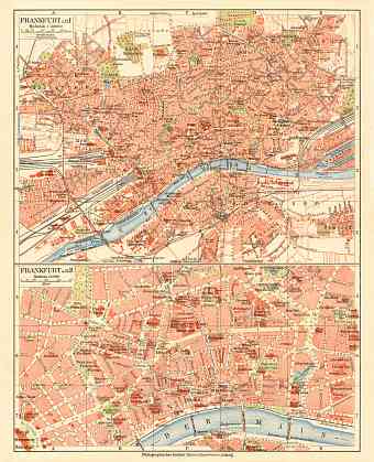
The city which is officially known as Frankfurt am Main is the fifth largest in Germany and the largest one in the state of Hessen. Vintage old maps of Frankfurt depict stored here its urban development through late 19C and early 20 C. With an area of about 250 square kilometers the city is located on the south east of the Taunus Mountain range and on both sides of the Main River. Its downtown is located on the northern side of the Main River and the city center is located in the district of Bockenheim. The magnificent Frankfurt Forest (Frankfurter Wald) lies to the south on the bottom part of the city map. The characteristic of the city is that it is the centre of the largely populated Rhine- Main Metropolitan region. Half of Frankfurt was destroyed during the bombings of the World War II but eventually the city was restored to its glory. Since it lies centrally within Germany and Europe the global city is a transport hub in airways, railways and highways

