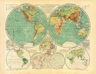
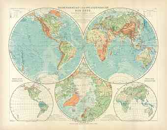
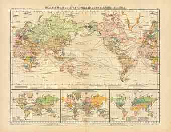
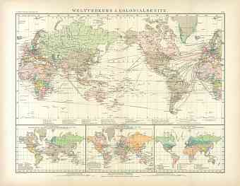
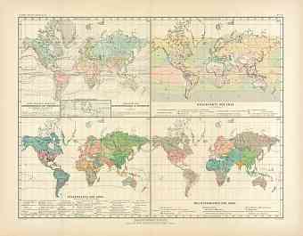
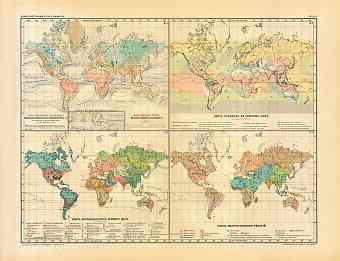
Historical maps of the World from the beginning of the 20th Century. The 1900 Collection offers vintage old World map reproduction prints, high resolution map pictures for download and navigable GPS-enabled historical travel items for PDF Maps mobile application
- World Maps [10]
- Africa (General maps) [6]
- Americas (General maps) [7]
- Asia (General maps) [11]
- Australia (General maps) [5]
- Europe (General maps) [20]
- Albania [1:5]
- Algeria [2:25]
- Armenia [1:2]
- Austria [2:193]
- Azerbaijan [2:5]
- Belgium [3:66]
- Bosnia and Herzegovina [2:30]
- British Crown dependency [1:1]
- Bulgaria [2:9]
- Canada [2:23]
- China [1:3]
- Croatia [2:44]
- Cuba [2:2]
- Cyprus [2:5]
- Czech Republic [2:66]
- Denmark [3:52]
- Egypt [2:8]
- Estonia [2:38]
- Finland [2:96]
- France [2:411]
- Georgia [2:17]
- Germany [2:451]
- City and Town Maps [19:280]
- Barmen and Elberfeld (Wuppertal) [9]
- Berlin and Potsdam [21]
- Bremen [4]
- Cassel (Kassel) [3]
- Chemnitz [3]
- Cologne (Köln, Cöln) [5]
- Dresden [11]
- Düsseldorf [6]
- Frankfurt am Main [7]
- Görlitz [3]
- Halle [3]
- Hamburg [15]
- Hanover (Hannover) [6]
- Heidelberg [6]
- Kiel [3]
- Leipzig [6]
- Lübeck [3]
- Magdeburg [4]
- Munich (München) [13]
- Region and Overview Maps [2:171]
- City and Town Maps [19:280]
- Gibraltar [2:7]
- Great Britain [2:102]
- Greece [2:49]
- Hungary [2:26]
- Iceland [2:5]
- Iran [1:1]
- Ireland [2:3]
- Israel [2:5]
- Italy [2:419]
- Kosovo [1:5]
- Latvia [2:15]
- Lebanon [1:1]
- Libya [1:2]
- Lithuania [2:6]
- Luxembourg [2:7]
- Macedonia [1:2]
- Malta [2:5]
- Mexico [2:3]
- Monaco [2:6]
- Montenegro [2:12]
- Morocco [2:7]
- Netherlands [2:46]
- Norway [2:106]
- Poland [2:66]
- Portugal [2:32]
- Romania [2:31]
- Russia [2:660]
- Serbia [2:15]
- Slovakia [2:13]
- Slovenia [2:20]
- Spain [2:142]
- Sweden [2:94]
- Switzerland [2:177]
- Tunisia [2:16]
- Turkey [2:57]
- Ukraine [2:41]
- United States of America [2:64]
- Uzbekistan [2:2]

