per page
Sort By: A to Z Z to A

Region and Overview Maps: Karelia and Karelian Isthmus. Old Antique Map Prints and Pictures

Historical old maps and plans of Karelia and Karelian Isthmus in Russia, earlier (up to 1917) in the Russian Empire, and partly in Finland and in the Soviet Union from 1917 to 1940 and 1941-1944. Detailed topographic maps originate from Finnish publishers from 1920s-1940s and depict mostly the-then Finnish part of this territory. The entire topographic maps' collection was processed with care amd provided by Atlasart OY publishers from Helsinki, known for its numerous publications on new and modern history, including 3-volume 'Kieletyt kartat' (The Forbidden Maps) series, in which one may see all these maps compiled to atlas form and printed on fine coated paper

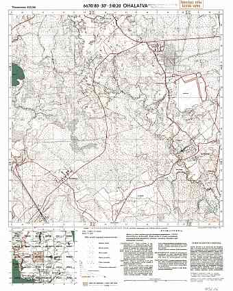
Agalatovo. Ohalatva. Topografikartta 403206. Topographic map from 1943
22.05 x 27.56 inch, 561 x 700 mm
p
(24 x 31 inch, 600 x 800 mm)"> 
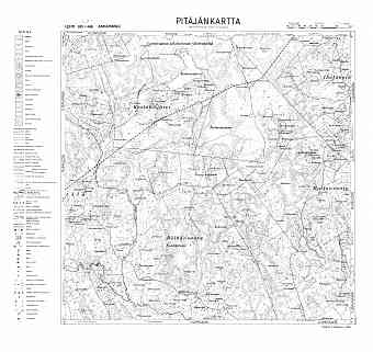
Akkaharju. Akkaharju. Pitäjänkartta 412311. Parish map from 1938
25.67 x 24.29 inch, 652 x 617 mm
p
(28 x 39 inch, 700 x 1000 mm)"> 
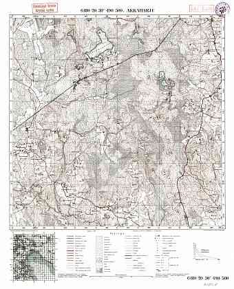
Akkaharju. Topografikartta 412311. Topographic map from 1939
22.05 x 27.24 inch, 561 x 692 mm
p
(24 x 31 inch, 600 x 800 mm)"> 
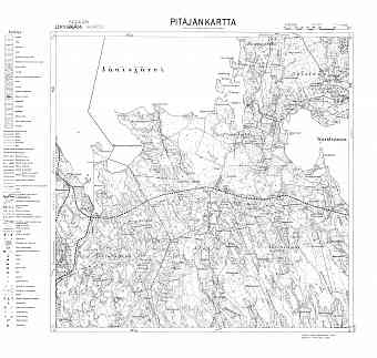
Alattu. Pitäjänkartta 423304. Parish map from 1932
25.37 x 24.17 inch, 645 x 614 mm
p
(28 x 39 inch, 700 x 1000 mm)"> 
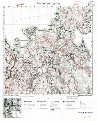
Alattu. Topografikartta 423304. Topographic map from 1927
22.05 x 27.56 inch, 561 x 700 mm
p
(24 x 31 inch, 600 x 800 mm)"> 
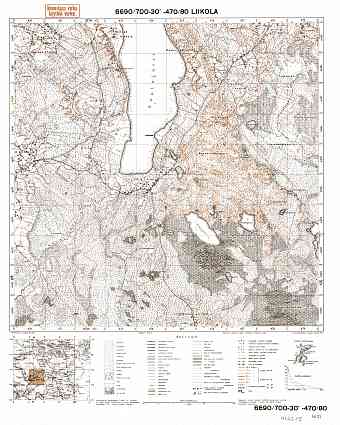
Aleksandrovka Village Site (Liikola). Liikola. Topografikartta 402305. Topographic map from 1932
22.05 x 27.56 inch, 561 x 700 mm
p
(24 x 31 inch, 600 x 800 mm)"> 
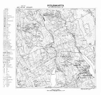
Aleksandrovka. Hatjalahti. Pitäjänkartta 402109. Parish map from 1938
25.67 x 24.19 inch, 652 x 615 mm
p
(28 x 39 inch, 700 x 1000 mm)"> 
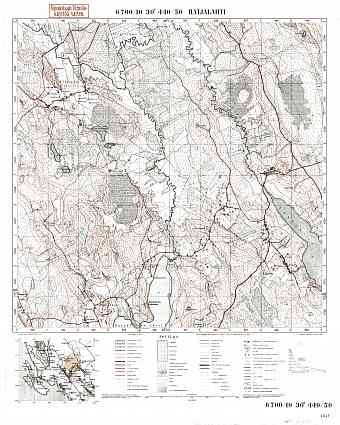
Aleksandrovka. Hatjalahti. Topografikartta 402109. Topographic map from 1937
22.05 x 27.56 inch, 561 x 700 mm
p
(24 x 31 inch, 600 x 800 mm)"> 
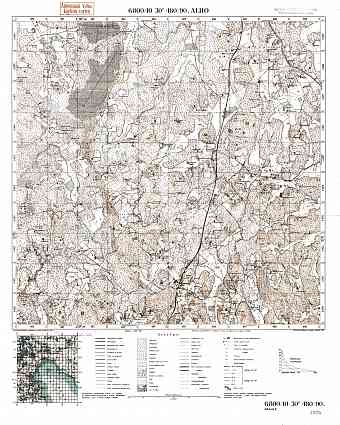
Alho. Topografikartta 412307. Topographic map from 1939
22.05 x 27.56 inch, 561 x 700 mm
p
(24 x 31 inch, 600 x 800 mm)"> 
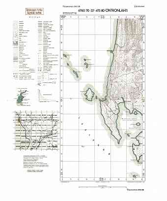
Andrusovskaja Buhta. Ontronlahti. Topografikartta 511306. Topographic map from 1943
20.65 x 24.83 inch, 525 x 631 mm
p
(24 x 31 inch, 600 x 800 mm)"> 
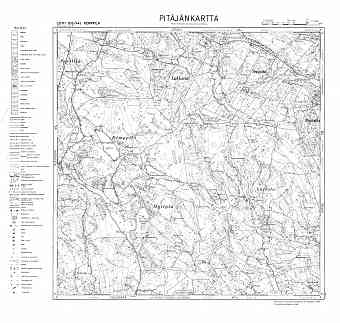
Anisimovo. Kemppilä. Pitäjänkartta 411106. Parish map from 1944
25.4 x 24.14 inch, 646 x 614 mm
p
(28 x 39 inch, 700 x 1000 mm)"> 
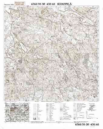
Anisimovo. Kemppilä. Topografikartta 411106. Topographic map from 1941
22.05 x 27.56 inch, 561 x 700 mm
p
(24 x 31 inch, 600 x 800 mm)"> 
per page