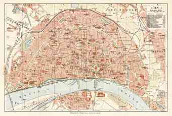
Cologne (Köln, Cöln) in Germany: Historical Vintage Map Prints and Pictures
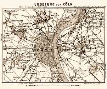
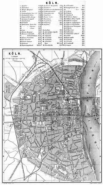
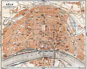
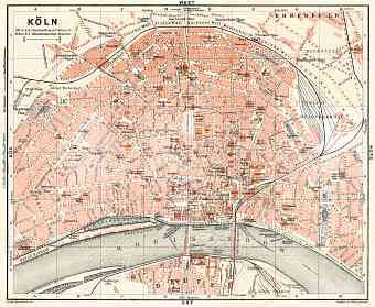
The city of Köln (Cologne) is the fourth largest city in Germany and the largest of the two federal states- North Rhine Westphalia and inner Rhine Ruhr metropolitan area with area of 405.2 square kilometers. The city resides on both sides of the Rhine River but mostly on the west bank midway between Dusseldorf and Bonn. Vintage old maps of Cologne dating back to the break of the 19th and 20th Centuries display its development on mostly the west bank of the river. This historical city is in fact an inner wheel to a larger cone-shaped area of Cologne Lowland. Monte Troodeloh is the highest point of the city with an elevation of 118 m above sea level and the lowest being the Worringer Bruch with 37.5 m above sea level. Cologne was one of the most heavily bombed cities of Germany during the Second World War; the city was fully destroyed with many further changes to its street pattern that can be seen on historical maps, but art and architecture after the war restored the city’s pride

