Liège in Belgium: Historical Vintage Map Prints and Pictures
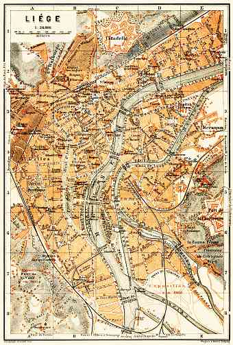
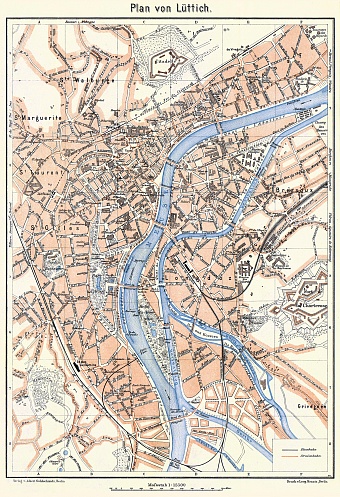
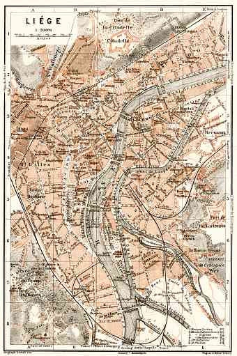
Historical vintage maps and plans of Liège in Belgium. Detailed road cartographic delineations, street and transit old maps of Liège depict the place and geographic area itself and its close suburbs as they looked like during the last decades of the 19th and early decades of the 20th century. The 1900 Collection focuses on reproduction poster prints of aged maps, high-resolution cartographic pictures for download and GPS-enabled navigable historical travel items for PDF Maps mobile application (iOs and Android)


