per page
Sort By: A to Z Z to A

Lithuania: Region and Overview Maps. Old Antique Map Prints and Pictures

Historical maps of Lithuania, its parts and regions, record the evolution of regional infrastructure, railways, roads, political subdivision of Lithuania in general and its provinces in more detail. Such old antique maps have been the principal sources for touring and getting driving directions across Lithuania in these past times. The 1900 Collection offers quality poster prints of old maps for gifts or own home design, high resolution carographic digitally re-mastered pictures for download and GPS-enabled navigable historical travel items for PDF Maps (Apple iOs and Android)

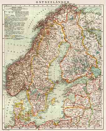
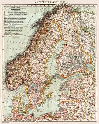
Lithuania on the general map of the Baltic Lands (Ostseeländer), 1929
13.38 x 16.5 inch, 340 x 420 mm
 p
(16 x 24 inch, 400 x 600 mm)"> 
Lithuania on the general map of the Baltic Lands (Ostseeländer), 1931
8.33 x 10.4 inch, 212 x 265 mm
 p
(12 x 16 inch, 300 x 400 mm)"> 
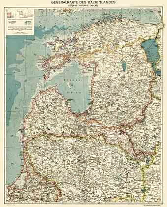
Lithuania on the general map of the Baltics (Generalkarte des Baltenlandes), about 1917
27.18 x 33.67 inch, 691 x 856 mm
 p
(31 x 47 inch, 800 x 1200 mm)"> 
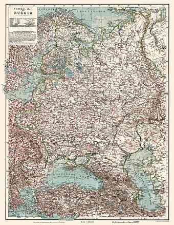
Lithuania on the general map of the Russian Empire (western part), 1914
15.69 x 20.24 inch, 399 x 515 mm
 p
(20 x 28 inch, 500 x 700 mm)"> 
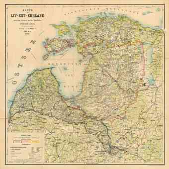
Lithuania on the map of Baltics (Estonia, Livonia and Courland - Livland, Estland, Kurland), 1898
28.37 x 28.41 inch, 721 x 722 mm
 p
(31 x 47 inch, 800 x 1200 mm)"> 
per page