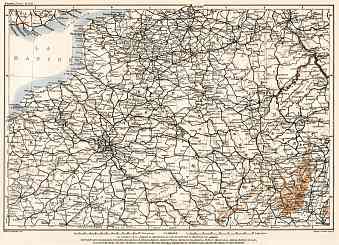
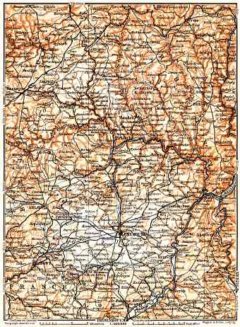
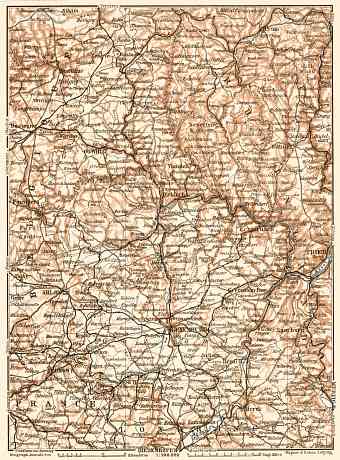
Luxembourg: old map prints, fine replica pictures to download or use in the field with GPS
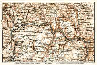
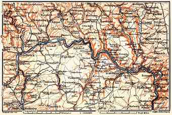
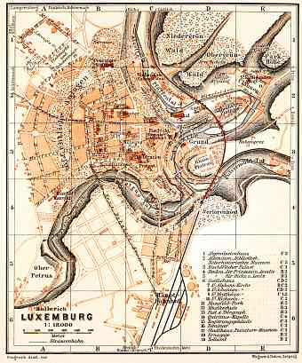
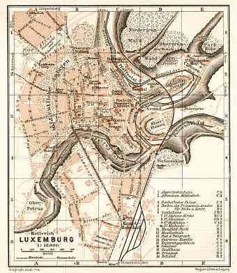
Historical maps of Luxembourg, its regions, cities and towns as they looked like in the 1880s, 1890s, 1900s, 1910s and shortly after the World War I. The Cities and Towns Maps section contains street plans of places in Luxembourg themselves and their nearby vicinities as they looked at the break of the 19th and 20th centuries, and offers a close-up view of those. Cities and towns, which are represented by 3 and more vintage maps, are collected to individual sub-folders in the section. The Regions and Overview Maps section includes maps that depict various regions of Luxembourg in general and its provinces in more detail. The 1900 Collection offers vintage old map reproduction prints, high resolution map pictures for download and and navigable GPS-enabled historical travel items for PDF Maps mobile application

