Berlin and Potsdam in Germany: Historical Vintage Map Prints and Pictures
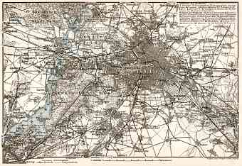
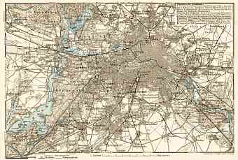
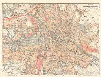
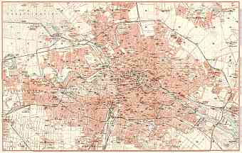
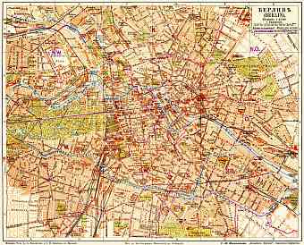
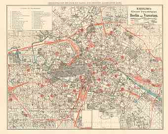
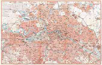
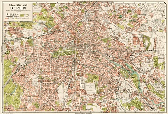
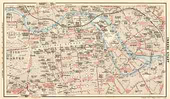
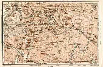
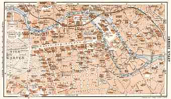
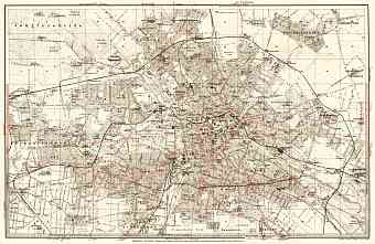
Get here historical old maps of Berlin and its environs as far as Potsdam as vintage poster prints or high resolution pictures. Berlin became capital and the largest city in Germany right after its Unification in 1870. The given maps deal with the physical aspects of this city state development in between late 1890s and 1930s, traditionally strongly depending on the low flat land geography. As seen on vintage maps, the city is historically located on the Spree River flowing through its entire area and joining the River Havel. The First World War brought no shambles to the German capital, but during the WWII it was bombed to destruction causing further dramatic changes to street planning, that one can witness from the old maps of Berlin. In the early 20th Century Berlin have long possessed the most extensive tramway in the World with more than a hundred of regular tram routes; early rail public transport network development is depicted on numerous themed old transit maps.

