per page
Sort By: A to Z Z to A

Copenhagen (København) in Denmark: Historical Vintage Map Prints and Pictures

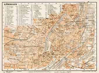
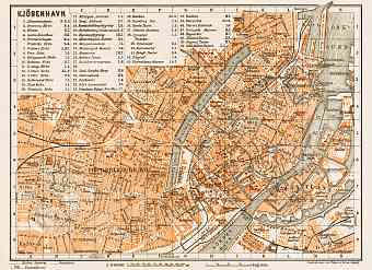
Copenhagen (København) is the largest and densely populated capital city of Denmark. Old maps of Copenhagen depict its historical core occupying the coastal area of about 90 square kilometers, crossed with channels. Vintage maps of the Danish capital allow following the modern story of its urban planning and transportation. The city lies on the eastern coast of the largest Danish island of Zealand (and falls partly on another island of Amage) in northern European peninsula that borders with the Baltic Sea and the North Sea. It is a low lying flat city on a moraine ground facing a narrow strait known as Oresund that separates Denmark and Sweden, making it a chief port. The hilly region of the city lies to the north. Oresund region consists of four main areas in Denmark and Sweden. Copenhagen is well connected to other European countries through railways, airways, ferries etc. The city proper is located in an area called the Fortification Ring it is called so because it maintains a partial green band around the area

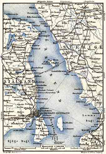
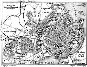
Copenhagen (Kjöbenhavn, København) and its farther vicinities´ map, 1901
4.09 x 5.95 inch, 104 x 152 mm
 p
(8 x 12 inch, 200 x 300 mm)"> 
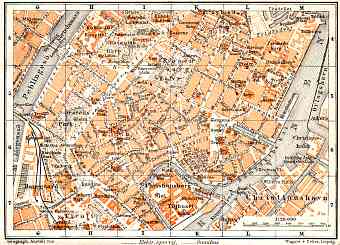
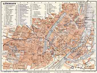
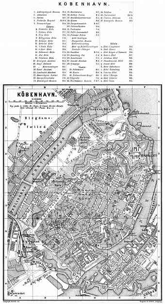
Copenhagen (Kjöbenhavn, København) central part map, 1887
6.07 x 11.21 inch, 155 x 285 mm
 p
(12 x 16 inch, 300 x 400 mm)"> 
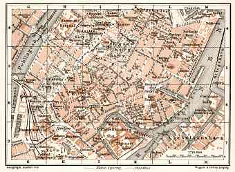
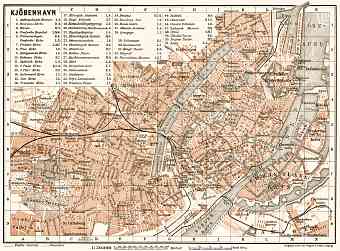
Copenhagen (Kjöbenhavn, København) central part map, 1910
5.96 x 4.29 inch, 152 x 109 mm
 p
(8 x 12 inch, 200 x 300 mm)"> 
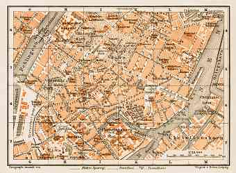
Copenhagen (Kjöbenhavn, København) central part map, 1911
6.01 x 4.41 inch, 153 x 112 mm
 p
(8 x 12 inch, 200 x 300 mm)"> 
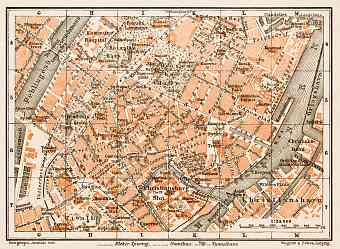
Copenhagen (Kjöbenhavn, København) central part map, 1929
6.11 x 4.48 inch, 156 x 114 mm
 p
(8 x 12 inch, 200 x 300 mm)"> 
Copenhagen (Kjöbenhavn, København) central part map, 1931
6.01 x 4.41 inch, 153 x 112 mm
 p
(8 x 12 inch, 200 x 300 mm)"> 
Copenhagen (Kjöbenhavn, København) city map, 1887
3.83 x 2.93 inch, 98 x 75 mm
 p
(8 x 12 inch, 200 x 300 mm)"> 
Copenhagen (Kjöbenhavn, København) city map, 1910
8.27 x 6.22 inch, 211 x 158 mm
 p
(8 x 12 inch, 200 x 300 mm)"> 
Copenhagen (Kjöbenhavn, København) city map, 1911
8.37 x 6.2 inch, 213 x 158 mm
 p
(8 x 12 inch, 200 x 300 mm)"> 
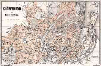
Copenhagen (Kjöbenhavn, København) city map, 1913
23.07 x 15.16 inch, 586 x 386 mm
 p
(20 x 28 inch, 500 x 700 mm)"> 
Copenhagen (Kjöbenhavn, København) city map, 1929
8.49 x 6.25 inch, 216 x 159 mm
 p
(8 x 12 inch, 200 x 300 mm)"> 
Copenhagen (Kjöbenhavn, København) city map, 1931
8.54 x 6.22 inch, 217 x 158 mm
 p
(8 x 12 inch, 200 x 300 mm)"> 
per page