per page
Sort By: A to Z Z to A

France: Region and Overview Maps. Old Antique Map Prints and Pictures

Historical maps of France, its parts and regions, record the evolution of regional infrastructure, railways, roads, political subdivision of France in general and its provinces in more detail. Such old antique maps have been the principal sources for touring and getting driving directions across France in these past times. The 1900 Collection offers quality poster prints of old maps for gifts or own home design, high resolution carographic digitally re-mastered pictures for download and GPS-enabled navigable historical travel items for PDF Maps (Apple iOs and Android)

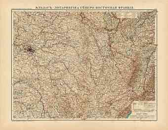
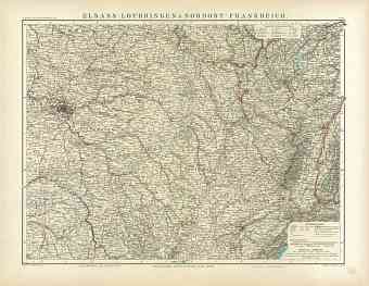
Alsace, Lotharingia and the Northeastern France Map (in Russian), 1910
22.34 x 17.28 inch, 568 x 439 mm
p
(20 x 28 inch, 500 x 700 mm)"> 
Alsace, Lotharingia and the Northeastern France Map, 1905
22.28 x 17.25 inch, 566 x 439 mm
p
(20 x 28 inch, 500 x 700 mm)"> 
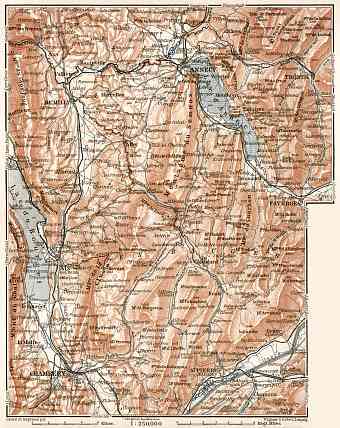
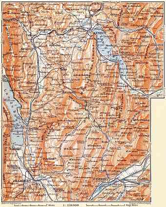
Annecy (Annesy-les-Bauges) environs map, with plan of Chambéry, 1902
6.55 x 8.25 inch, 167 x 210 mm
 p
(8 x 12 inch, 200 x 300 mm)"> 
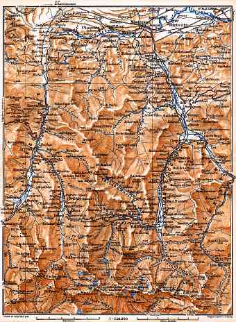
Aure and Luchon River valleys´ map, 1885
6.03 x 8.23 inch, 154 x 209 mm
 p
(8 x 12 inch, 200 x 300 mm)"> 
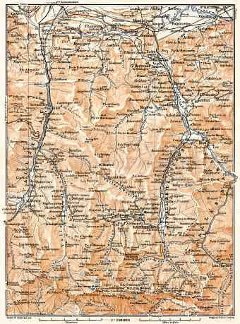
Aure and Luchon River valleys´ map, 1902
6.07 x 8.2 inch, 155 x 209 mm
 p
(8 x 12 inch, 200 x 300 mm)"> 
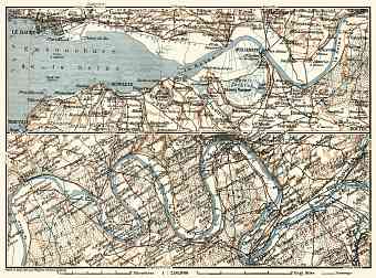
Basse-Seine, Seine from Le Havre to Louviers map, 1913
8.27 x 6.14 inch, 211 x 156 mm
 p
(8 x 12 inch, 200 x 300 mm)"> 
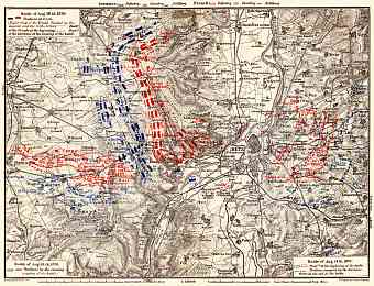
Battle at Metz in August 1870 site map, 1905
8.06 x 6.17 inch, 205 x 157 mm
 p
(8 x 12 inch, 200 x 300 mm)"> 
Bauges Mountains map, 1900
6.55 x 8.16 inch, 167 x 208 mm
 p
(8 x 12 inch, 200 x 300 mm)"> 
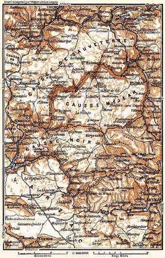
Causses Mountains map, 1885
3.94 x 6.14 inch, 101 x 156 mm
 p
(8 x 12 inch, 200 x 300 mm)"> 
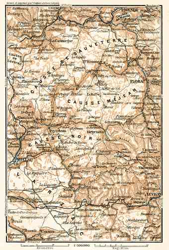
Causses Mountains map, 1902
4.12 x 6.1 inch, 105 x 155 mm
 p
(8 x 12 inch, 200 x 300 mm)"> 
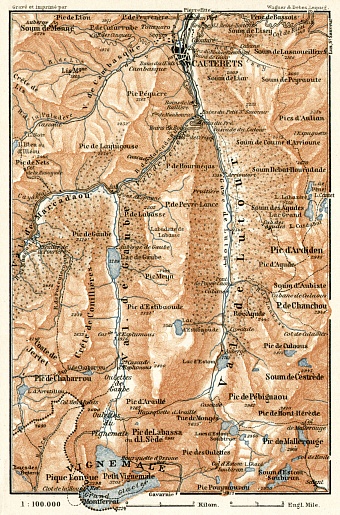
Cauterets and environs map, 1902
4.03 x 6.11 inch, 103 x 156 mm
 p
(8 x 12 inch, 200 x 300 mm)"> 
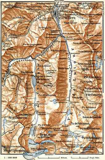
Cauterets environs map, 1885
3.97 x 6 inch, 101 x 153 mm
 p
(8 x 12 inch, 200 x 300 mm)"> 
per page