Prague (Praha) in Czech Republic: Historical Vintage Map Prints and Pictures
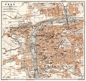
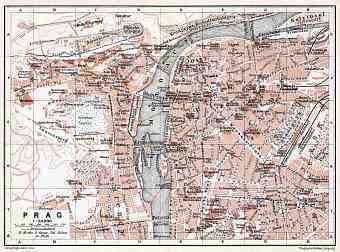
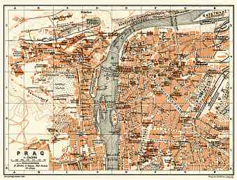
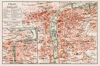
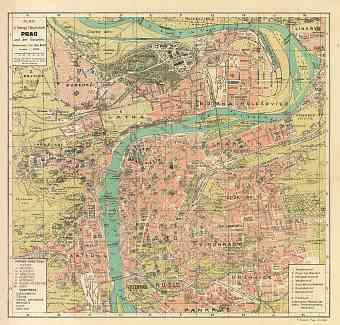
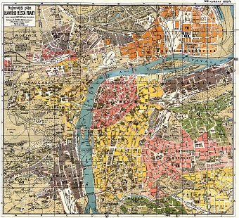
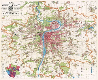
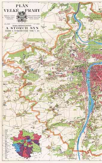
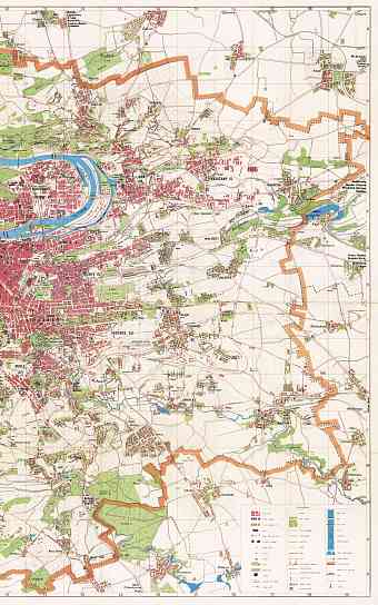
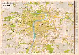
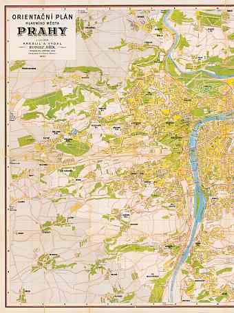
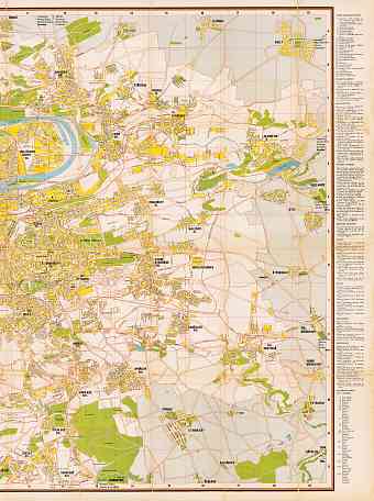
This section contains historical vintage maps and plans of Prague (Praha) of late 19 and early 20 Centuries. The historic capital of Bohemia became the largest city and the capital of Czech Republic after World War I. It was also known as the capital to the Holy Roman Empire and an important city to Austro- Hungarian Empire. The city is located on the north western part of the country at 50°05"N and 14°27"E
on the Vltava River, surrounded by the mountainous ring. Prague comprises of the four major areas which are divided and scattered on the south of the river bend and are easily shown in the map; first comes the eastern bank featuring the Old Town (Staré Město) and the New Town (Nové Město). Secondly, the western bank comprising the medieval castle region (Hradčany). Thirdly, the Charles Bridge connects the eastern bank to the west and yet has a charismatic atmosphere of its own. Lastly, the industrial and the residential area of Prague find its way to the old city center around Vltava River. Get here re-mastered old maps of Prague as fine poster prints and high-resolution pictures for download and unique historic GPS navigation experience

