Stockholm in Sweden: Historical Vintage Map Prints and Pictures
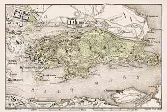
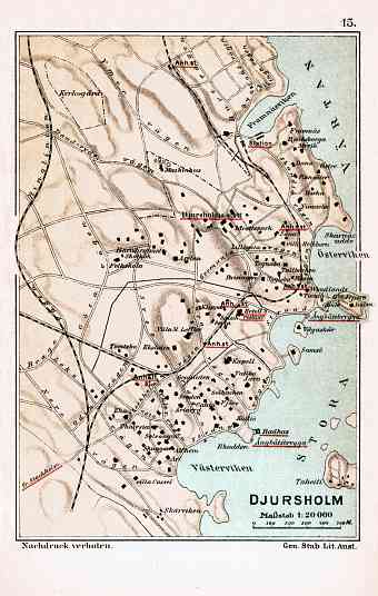
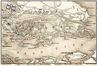
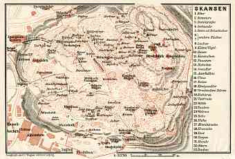
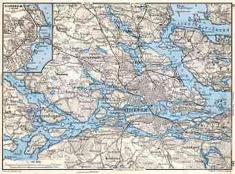
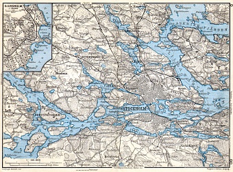
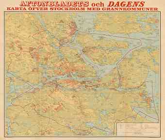
Historical vintage maps and plans of Stockholm, the capital of the Kingdom of Sweden, and maps of suburbs of Stockholm are offered as fine replica posters, high resolution re-mastered map pictures for download and GPS-enabled historical navigable travel items. The city of Stockholm is situated on the 14 islands on the country’s south- central east coast on the banks to archipelago where the freshwater Lake Mälaren meets the Baltic Sea, covering an area of 6,519 km2. The city is divided by water into three parts as shown in the map - the first is the city center (Norrmalm, Östermalm etc.), second the southern Stockholm (Södermalm) and thirdly the western Stockholm districts. This most populous city of Scandinavia is the economic, cultural, political center of Sweden and so has been titled the ‘global city’. Stockholm is also called ‘’Venice of the North’’ for its intricate waterways, parks and architecture

