Vienna (Wien) in Austria: Historical Vintage Map Prints and Pictures
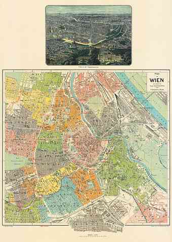
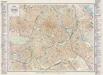
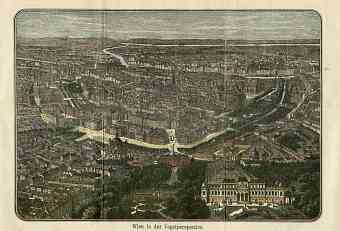
Historical old maps of Vienna show the late Habsburgs imperial decades (around 1900) of the nowadays capital of Austria. Get here vintage maps of Vienna as fine replica posters, high resolution re-mastered map pictures for download and GPS-enabled historical navigable travel items. The earliest settlements in Vienna took place on the south of the meandering Danube but eventually the city expanded on the both sides of the river. During the Napoleonic wars, Vienna was the capital of Austrian Empire and further also of the Austro-Hungarian Empire. After World War I it still became the capital of the Republic of German-Austria and then of the First Republic of Austria. The city remained on high of culture, modernism, music and art. The map of Vienna shows the city as located on the northeastern side of Austria at the eastern extension of the Alps. The northeastern city shares its close borders with Czech Republic, Slovakia and Hungary. It is also one of the nine federal states of Austria


