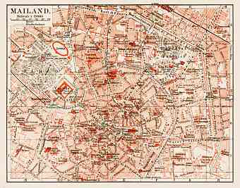
Milan (Milano) in Italy: Historical Vintage Map Prints and Pictures
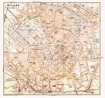
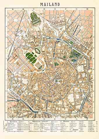
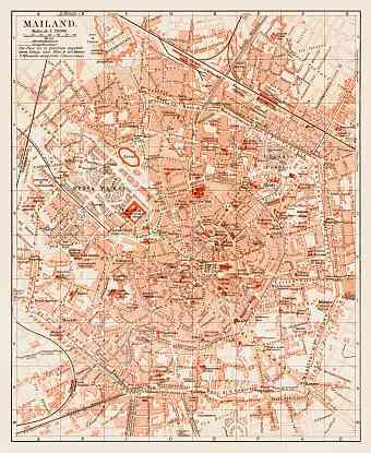
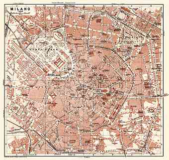
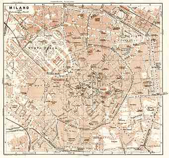
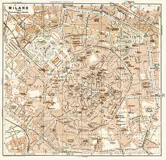
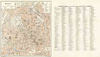
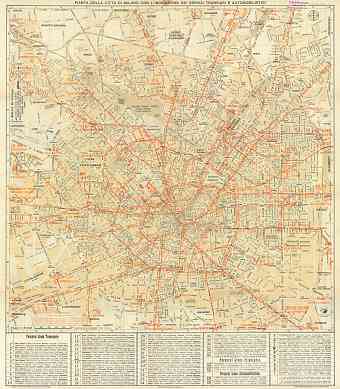
Old vintage maps of Milan depict the modern history and urban development of this second largest Italian city (next to Rome), being the capital of Lombardy and currently covering a surface area of a bit over than 180 km2. The city dominated by other European states found its way to merge harmoniously with the kingdom of Italy unification in 1859. Milan did not suffer during the First World War, but It was disastrously affected by the cruelties of the World War II. Milan’s street pattern is affected by its geography; the city is situated on the Lombard Plain in the north-west of the Po valley and midway between the Po River and the great lakes of the Alps as seen on the map. The river Ticino is to the west of the city and the river Adda to its east. Since the city is snuggled in the lower plains of Padana the topography is entirely flat and the highest point is 400.26 ft above sea level.

