Moscow (Москва, Moskva) in Russia: Historical Vintage Map Prints and Pictures
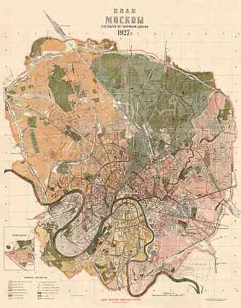
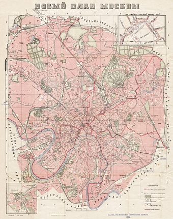
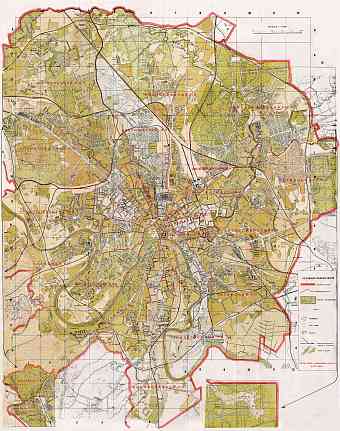
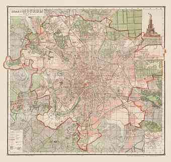
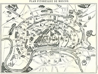
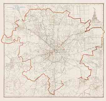
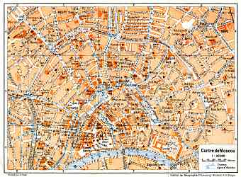
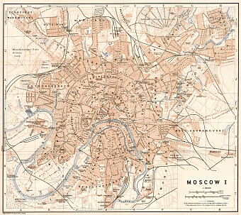
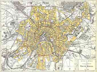
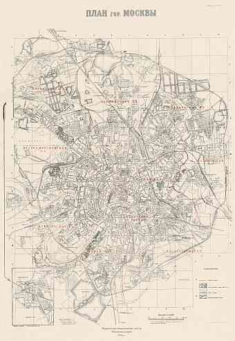
Historical old maps of Moscow depict the modern history of urban development of the capital of Russia during the few last imperial decades and aerly years following the Russian Revolution of 1917 when it returned its metropolitan status after the two-century’ break. This large historic city is located along the Moskva River on the basin of Volga, Klyazma and Oka Rivers. The first past-revolutionary decades brought significant changes to the urban structure of Moscow with many old streets disappearing from the map. The city suffered many bombings during the World War II causing more dramatic changes, but it is remarkable that despite all odds the construction of the city’s metro system remained steady and by the end of the war the city had developed drastically. This section focuses on reproduction poster prints of aged maps of Moscow, high-resolution carographic pictures for download and GPS-enabled navigable historical travel items for PDF Maps mobile application (iOs and Android)


