Munich (München) in Germany: Historical Vintage Map Prints and Pictures
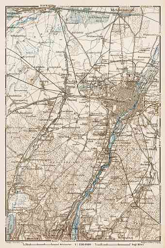
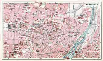
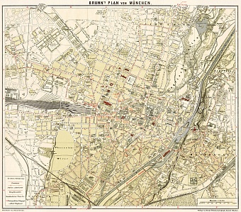
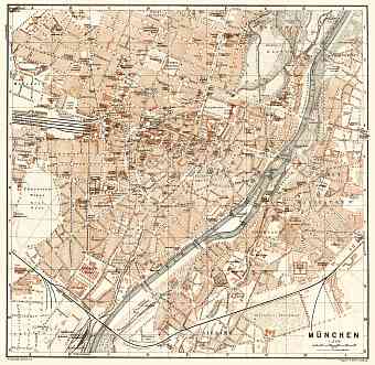
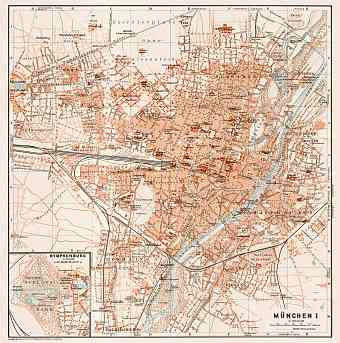
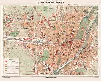
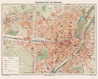
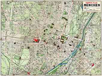
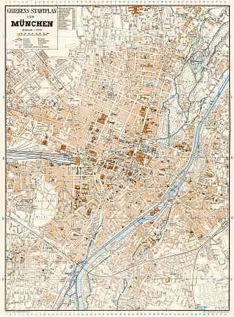
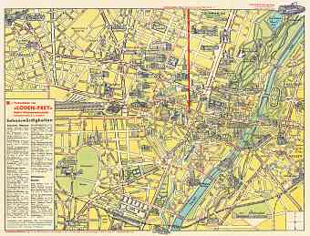
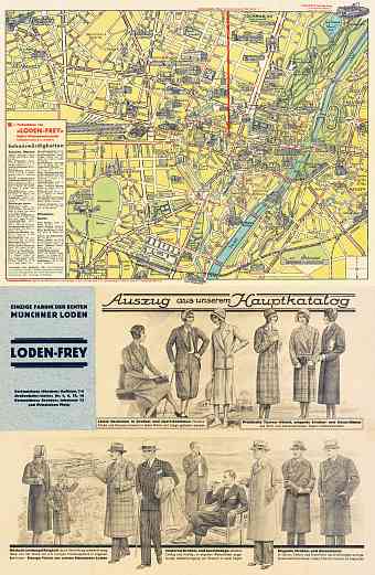
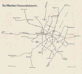
This section contains a selection of vintage old replica maps of Munich (München) in the state of Bavaria of Germany. The city is the capital of the state and the third largest city of the country with an area total of more than 300 km2. Historical city of Munich is situated on the Isar River north of the Alps and in between the Bavarian Alps and Danube River close to the Austrian border. The city is on the elevated plains of northern Bavaria and two local rivers namely Isar and Wurm flows through it as a lifeline of the city. The northern part of Munich is a fertile sandy plateau while the southern part of it is full of moraine hills. Oceanic climate is experienced in the city with warm summers and cool winters. The city was heavily bombed during the World War II that led to drastic losses to its housing and caused multiple after-war changes to the street pattern, that can be noticeably witnessed from historical maps of Munich.

