New York in United States of America: Historical Vintage Map Prints and Pictures
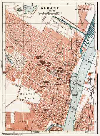
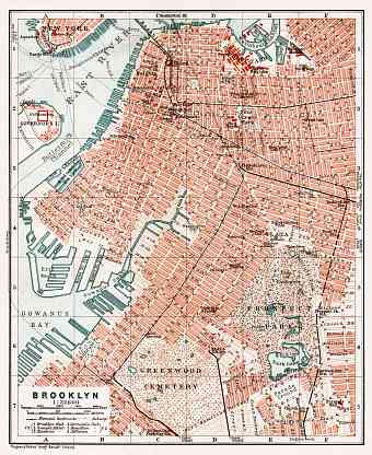
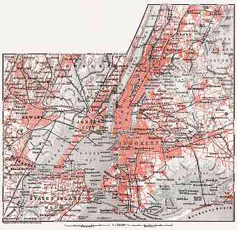
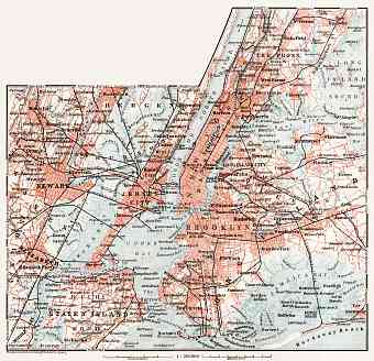
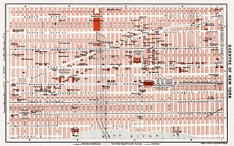
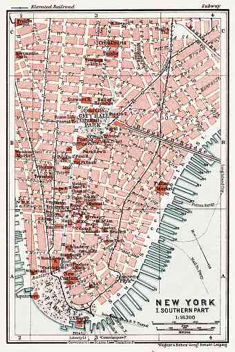
Find and explore historical vintage maps and plans of New York, featuring the modern history of this global power city at the beginning of the 20th Century. Buy reproduction poster prints of New York aged maps, high-resolution cartographic pictures for download and GPS-enabled historical travel items for mobile navigation. The city of New York situated in the Northeastern side of the United States at the mouth of Hudson River meeting the Atlantic Ocean in a naturally sheltered harbor has been a densely populated metropolis since its foundation in the 16th C. Nowadays it covers an area of about 55,000 square miles. About 80% of the city is built on the three islands of Manhattan. Its five boroughs were established in 1898, which is the unique system of governance, namely: the Bronx, Brooklyn, Manhattan, Queens and Staten Island. Old maps of the region show the entire area occupied by these five divided territories. The Hudson River flows into New York Bay and separates Manhattan and Bronx from Northern New Jersey. Similarly the Harlem River separates Manhattan from Bronx

