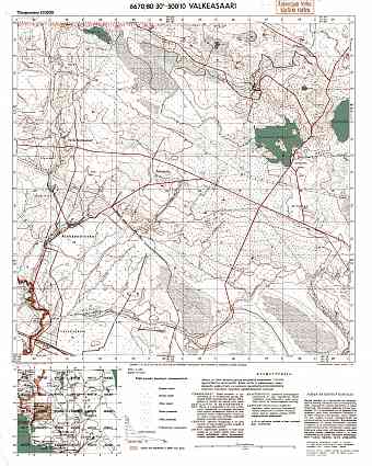
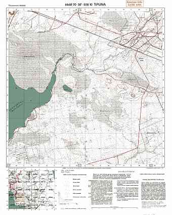
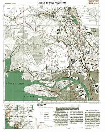
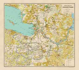
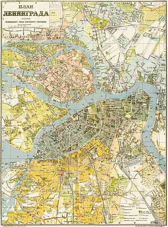
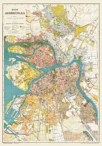
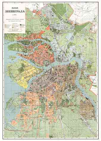
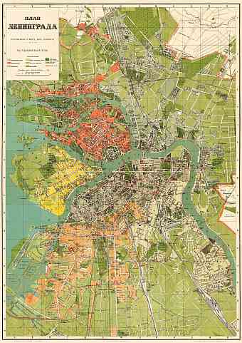
Saint Petersburg (Санкт-Петербург) in Russia: Historical Vintage Map Prints and Pictures
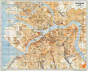
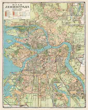
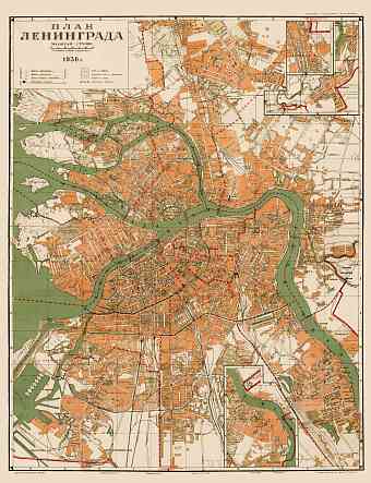
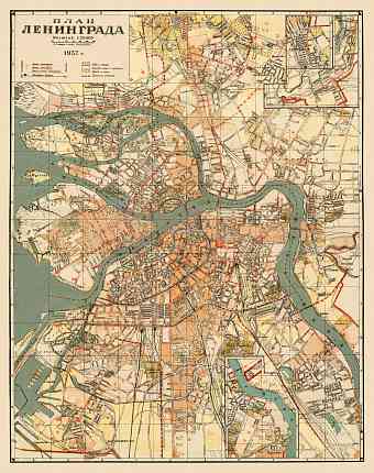
Order here reproduction poster prints of old maps of Saint Petersburg, high-resolution map pictures for download and GPS-enabled historical travel items for mobile navigation (iOs and Android). Historical maps of Saint Petersburg show stages of modern history of the second largest city in Russia, being now its federal subject. It was the capital of the Russian Empire between 1712 and 1918; the city was known as Petrograd during 1914-24 and Leningrad afterwards until 1991. The city is situated at about 400 miles northwest of Moscow on the delta of the Neva River towards the east end of the Gulf of Finland on the Baltic Sea. It is built on both banks of the river and numerous islands; therefore the city is characteristic of many canals, bridges, embankments and river branches. Beautiful historic buildings enhance the beauty of this rather cold city like the Peter and Paul fortress, St. Isaac’s cathedral etc. The elevation of the city ranges from sea level to Orekhovaya hill as the highest point of 175.9m

