per page
Sort By: A to Z Z to A

City and Town Maps: Tallinn. Old Antique Map Prints and Pictures

Historical old maps and plans of Tallinn in Estonia. Detailed Tallinn street maps depicting the place itself and its close suburbs as they looked like during the last decades of the 19th and early decades of the 20th century.

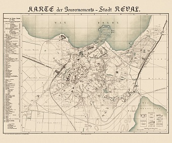
Reval (Tallinn) city map, 1881
30.61 x 25.5 inch, 778 x 648 mm
  
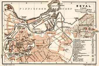
Reval (Tallinn) city map, 1914
6.03 x 4.03 inch, 154 x 103 mm
  
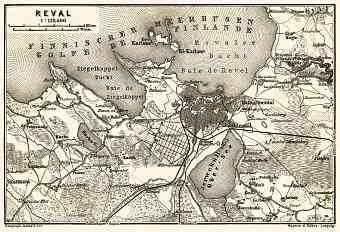
Reval (Tallinn) environs map, 1914
5.99 x 4.09 inch, 153 x 104 mm
  
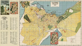
Tallinn City Map, 1938
37.31 x 21.27 inch, 948 x 541 mm
  
per page