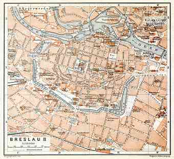
Wrocław (Breslau) in Poland: Historical Vintage Map Prints and Pictures
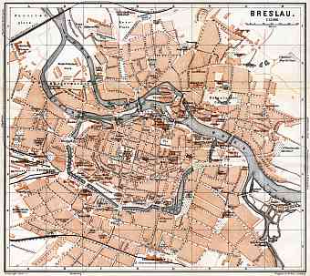
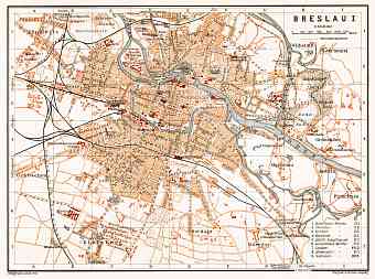
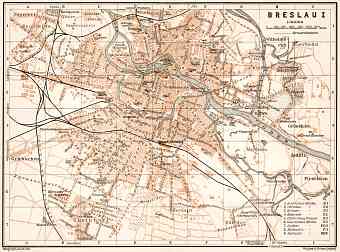
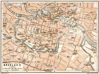
Historical vintage maps of the city of Wroclaw, the largest one in Western Poland and the capital of Dolnośląskie (Lower Silesian) province, published around 1900. You can buy old Wroclaw maps as fine replica posters, high resolution re-mastered map pictures for download and items for GPS mobile navigation. When belonging to the German Empire (since 1871) and being the sixth largest there, as population tripled to half a million between 1860-1910, the city was most known as Breslau. After World War I in 1919 Breslau became the capital city of freshly created Prussian province of Lower Silesia in the Weimer Republic and in between 1925-1930 the city boundaries were expanded. It is situated on the Oder River, roughly 290 kilometers southwest of Warsaw and 350 kilometers from the Baltic Sea, in the Silesian lowlands of Central European map, a region rich in coal and other minerals with a city area of 292.9km2. Wroclaw is identified to be a river port, railway centre, trading center and an industrial city

