Map of Europe. The Great European War Theater, 1915
Old map of the Middle, Southern Europe and Turkey (the WWI scene of operations) by Marx Adolf & Co., Saint Petersburg
Великая европейская война. Генеральная карта Средне-европейскаго и Южнаго театра военныхъ дѣйствiй. Historical map of the World War I scene of operations in the Middle, Southern Europe and Turkey drawn to scale of 1:2,100,000 with inset maps at scales of 1:2,000,000 and 1:10,000,000. ATTENTION! VERY LARGE MAP! Full image size equals to 122.66 x 84.63 cm, 48.29 x 33.32 inch; only slightly (or more) shrunken prints of it are available for online automated order on this page, please notice the percentages. You can also order online a standard full size print consisting of two halves; please follow this and this links (both will open in new windows). To apply for a single sheet full size print, please contact us to arrange

This historical map picture is royalty-free within our general terms of use as well as all historical antique maps displayed here in our cartographic collections. For a free picture comp, click and right click on the image and select Save image/picture as... (PC users) or just hold on the image (MAC users)
-
, 1903") Europe. Railways and waterways map (in Russian), 1903Original scale 1:4,600,000. Image size (in…
Europe. Railways and waterways map (in Russian), 1903Original scale 1:4,600,000. Image size (in…
-
, 1910") Austria-Hungary Map (in Russian), 1910Австро-Венгрiя. Historical map of the…
Austria-Hungary Map (in Russian), 1910Австро-Венгрiя. Historical map of the…
-
, 1910") Central Europe Transportation Map (in Russian), 1910Средняя Европа, Карта путей…
Central Europe Transportation Map (in Russian), 1910Средняя Европа, Карта путей…
-
 Map of Europe. The Great European War Theater, 1915. LEFT HALF
…
-
 South Europe on the map of the countries of the Mediterranean, 1911Historical map of the Mediterranean in 1911,…
-
 Physical Map of Europe, 1905Europa, Fluss- und Gebirgskarte. Europe historical…
-
 Map of Europe. The Great European War Theater, 1915. RIGHT HALF
…
-
 Map of Europe. The Great European War Theater, 1915
…
-
 Map of the eastern Alpine countries, 1905Alpenländer, Östlicher Teil. Historical map of…
-
 South Europe on the general map of the Mediterranean region, 1909Historical map of the Mediterranean in 1909,…
Buy high resolution old map image or order vintage map poster print
| Image Size | Size on disk | Price | Add to Cart |
|---|---|---|---|
| Download: immediate delivery by e-mail at no extra charges | |||
| 10900 x 9028 px (36.33 x 30.09 inch, 923 x 765 mm) |
74.86 Mb | € 44.89 | |
- Printing is done on Epson Stylus Pro printers ensuring industry leading precision and the highest quality colour printing for your maps
- High quality poster paper (Fujicolour Crystal Archive Paper 215g /m²) with matt finish will bring out the best in your map prints
- Durable packaging will protect your poster and is suited for whatever size you select
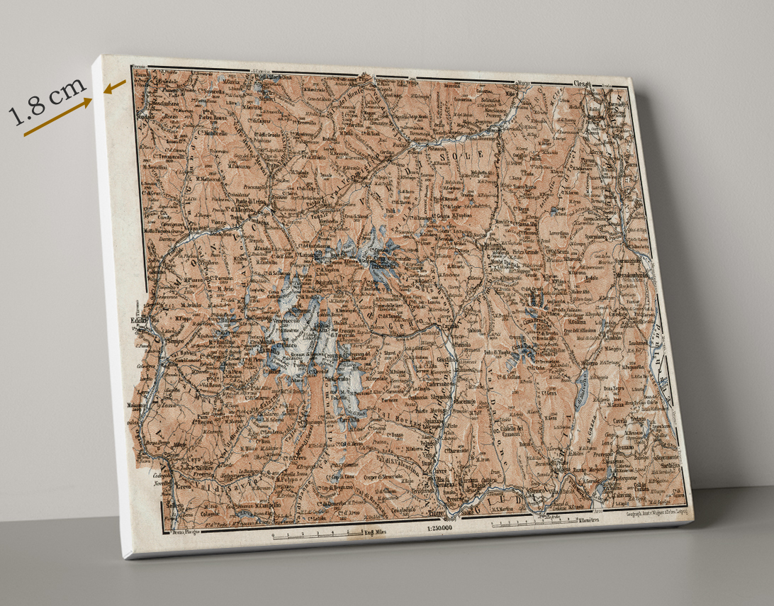
- Printed on polycotton canvas
- No wrapped edges applicable to maps - always white border around
- All prints are cut to size and carefully mounted onto a solid wooden frame of the "lite" thickness (1.8cm), suitable for framing, mounting or instant direct display on any wall
- To protect the canvas whilst in transit the edges are padded with foam
- Delivered with all hanging materials supplied
- Your canvas will be assembled as shown, with no wrap of the map image (including its original "white" margins around) around frame edges
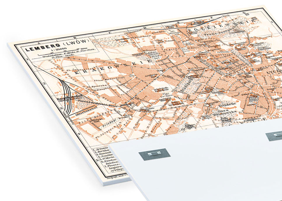
- Printed on a 5mm light and rigid Forex© PVC panel, a resistant material to light and temperature
- UV printing technology (direct printing on the panel) uses 6 colours. It provides durable printing with brilliant colours
- Water and scratch resistant printing – can be hung even outside
- Delivered with the system grip already attached to the back panel
- Special packaging secures your poster from any damage during its transportation worldwide